Minarets Via Fern Lake
2026-07-15
I did a pretty significant portion of the Sierra High Route in 2024, and the Minarets were one of the most beautiful places I'd ever been. A couple of my east coast friends were in town, and taking them there seemed like a great option. The Sierra is easy to traverse (mostly), so we were able to grab a last-minute permit from the Fern Lake trailhead.
The scramble from Fern Lake up to the plateau behind Carson Peak was pretty easy. We only trundled a couple of refrigerator-sized boulders onto the route below us. We took the route to climber's right of the lake. There's a small section, maybe 2x10 feet, with a couple of class 4 moves, but no exposure, so they're easy even if you're not overly comfortable with scrambling. If you want to avoid it, you can just push through the bushes.
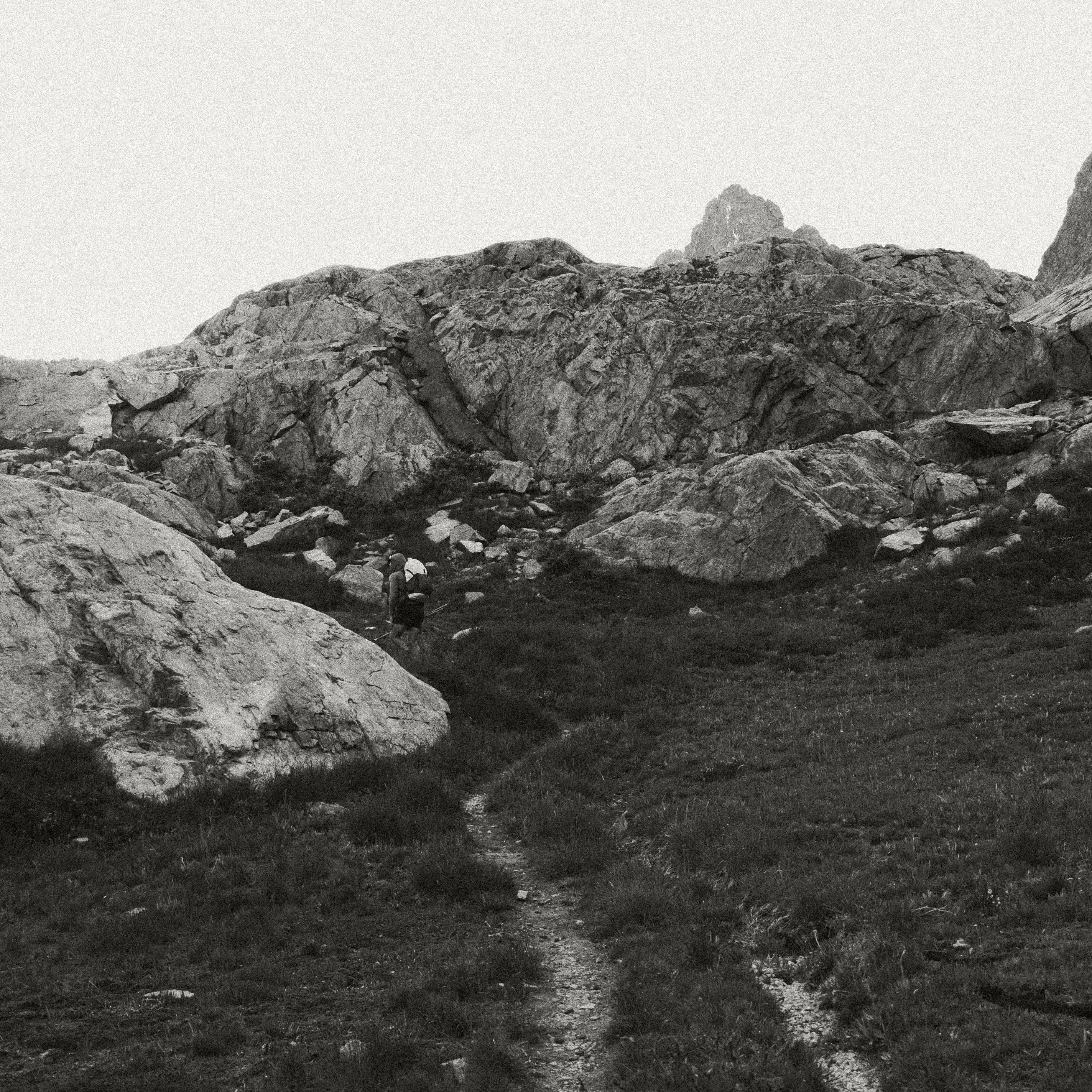
Walking on the plateau itself was easy, but dropping down to the PCT and further onto the river trail had some of the most intense bushwhacking I've experienced. If we'd gone half a mile in either direction, it would have been far easier. If you take this route, look for a better path.
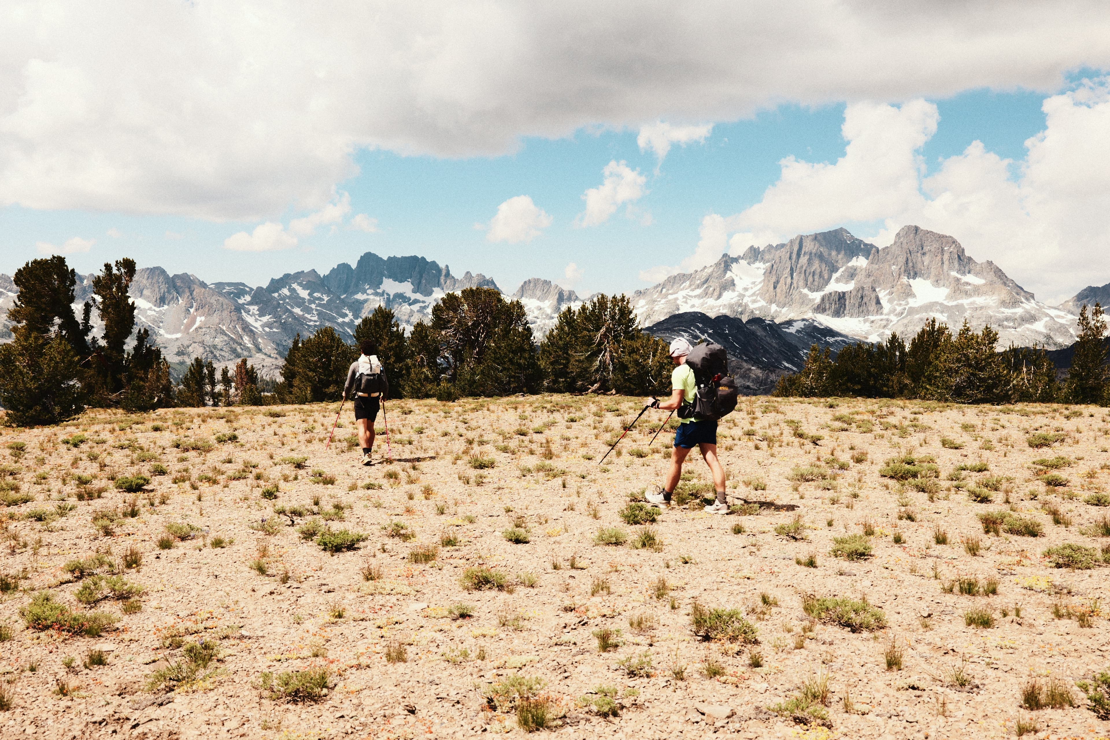
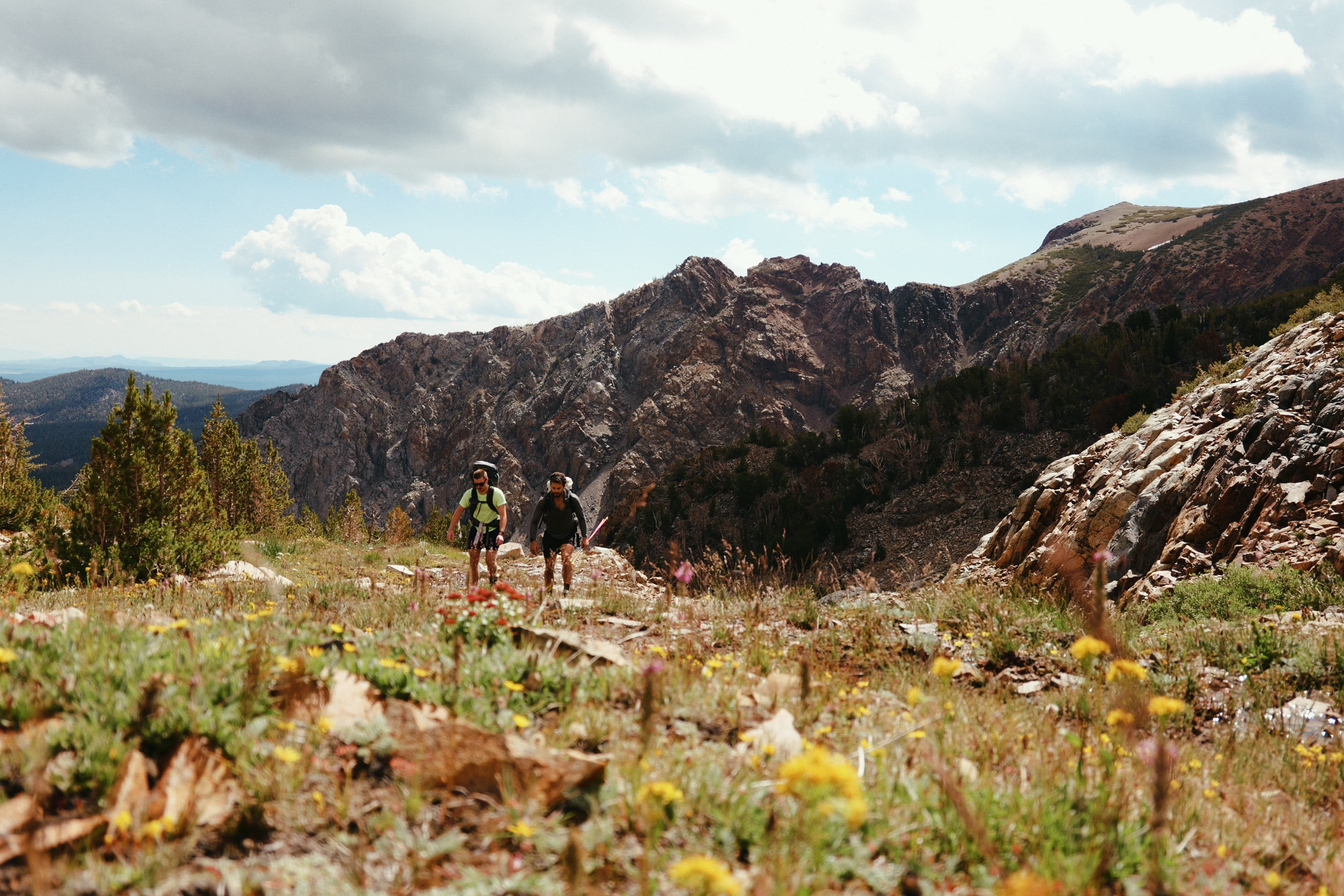
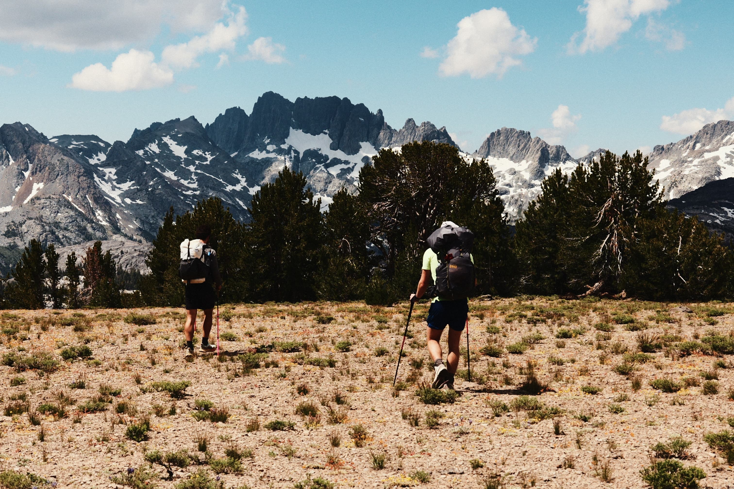
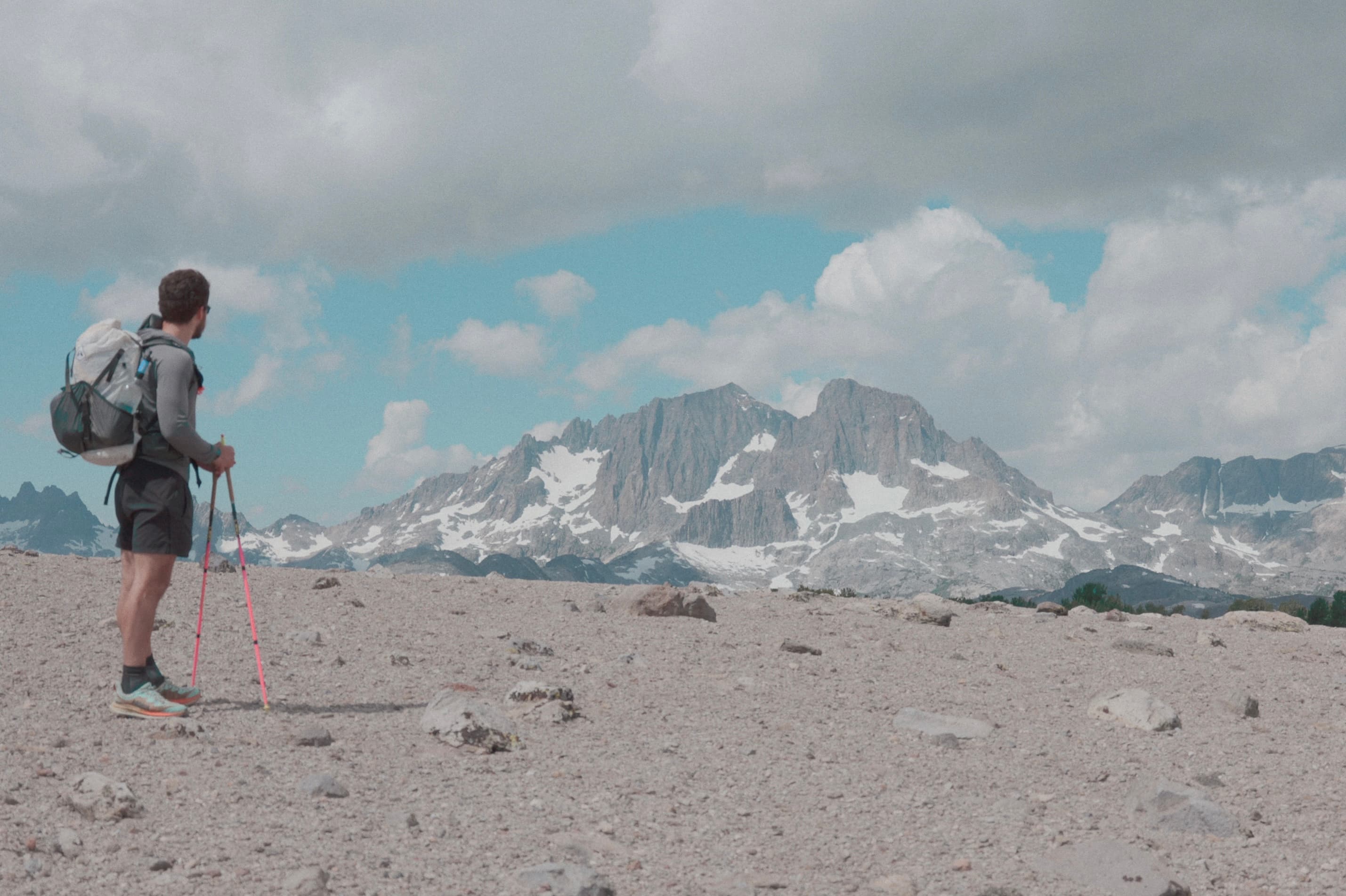
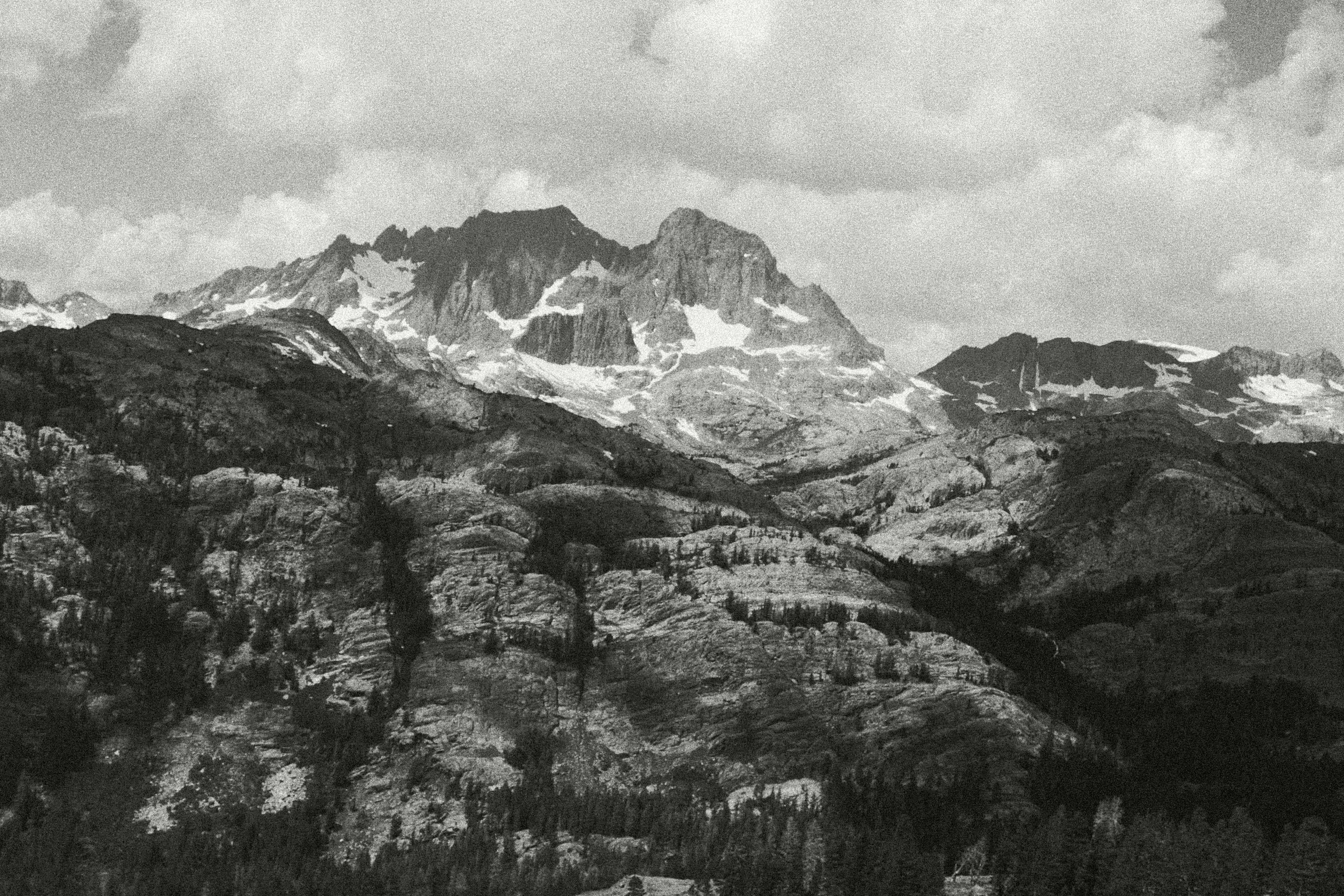
Plateau above Fern Lake
The flowers were absolutely incredible the entire trip, some of the best I've seen.
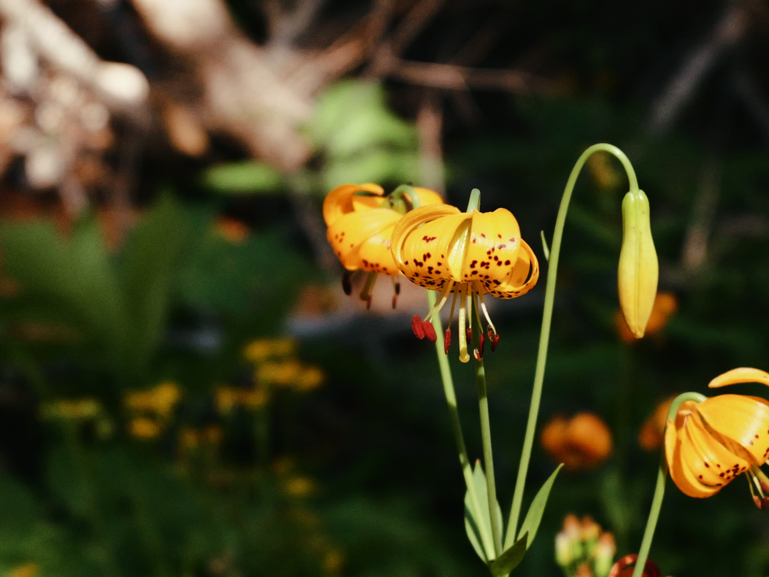
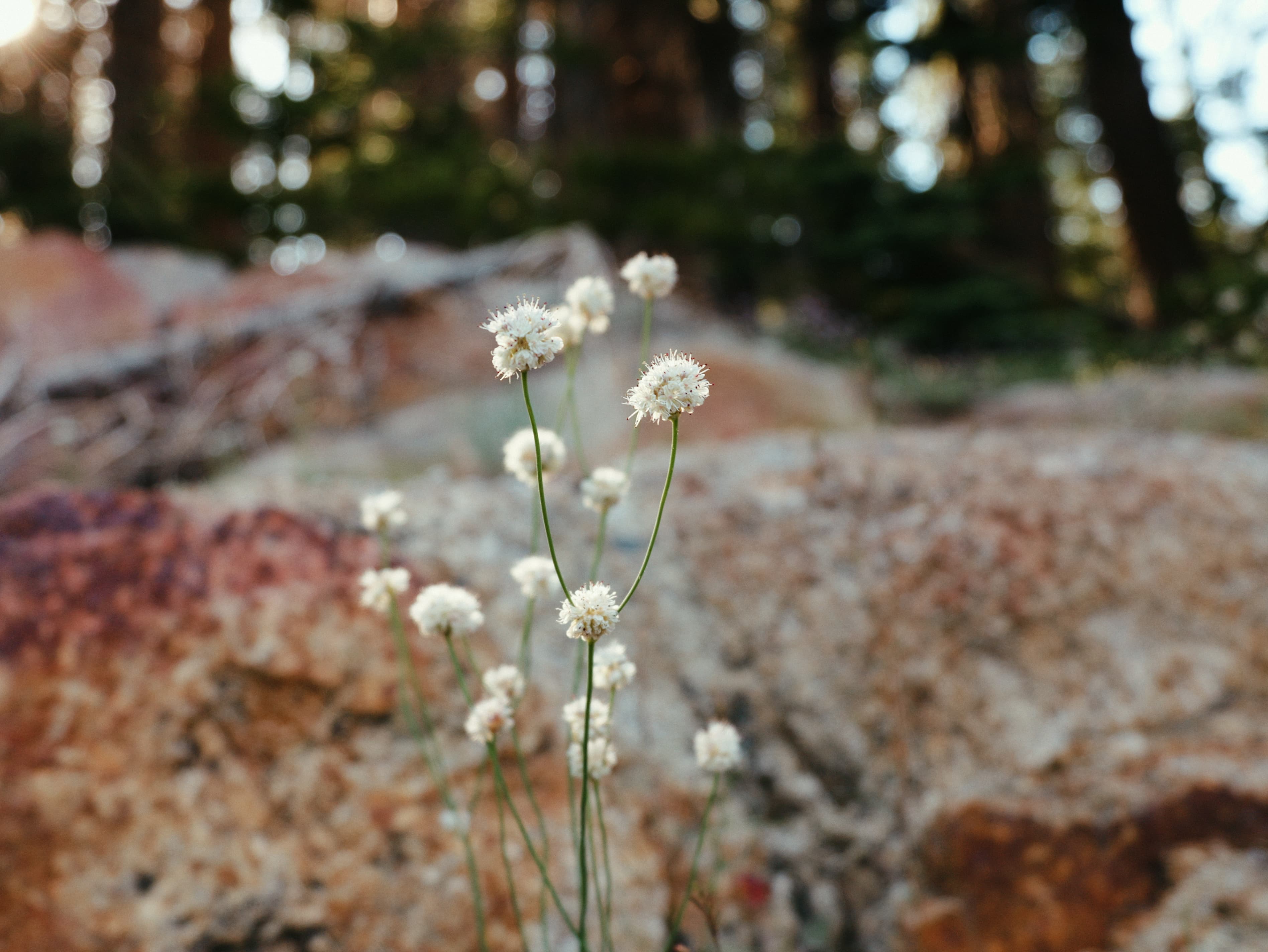
Pussypaws (hehe)
We hiked down the river trail and then the JMT through Shadow Lake, and finally took the Minaret Creek Trail up to the Minarets. Easy cruising was a welcome change after the schwacking. By this point we'd done 21 miles, and the feet of my friend, who had ignorantly agreed to follow me blindly, had turned into hamburgers. A good sign for the next day.
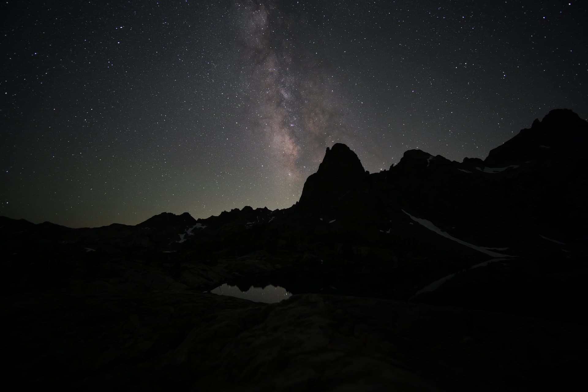
The stars were amazing that night, with some pretty significant reflection of the Milky Way in the lakes below Pridham Minaret. I woke up a few times to snap some photos. Not sure it was worth lugging in the 1lb Laowa 15mm Zero-D lens, but it's close.
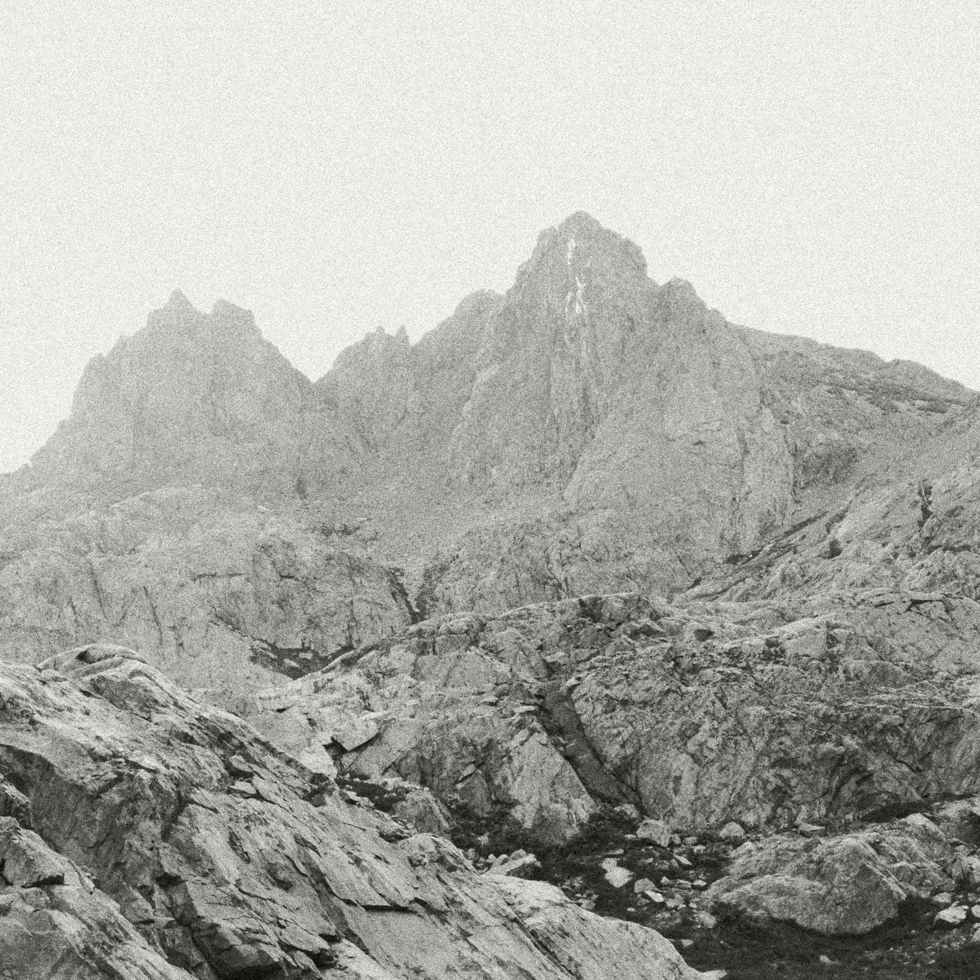
The next day was almost entirely trail I already knew, or no trail at all. It was mostly off-trail once we reached Iceberg Lake, until we reached Thousand Island Lake. This stretch of the Sierra High Route was incredible; the snow was mostly melted out above Iceberg Lake and, compared to 2024, far less treacherous. The views of Banner and Ritter from below were truly breathtaking. I think we'd all like to come back and make the ascent of them.
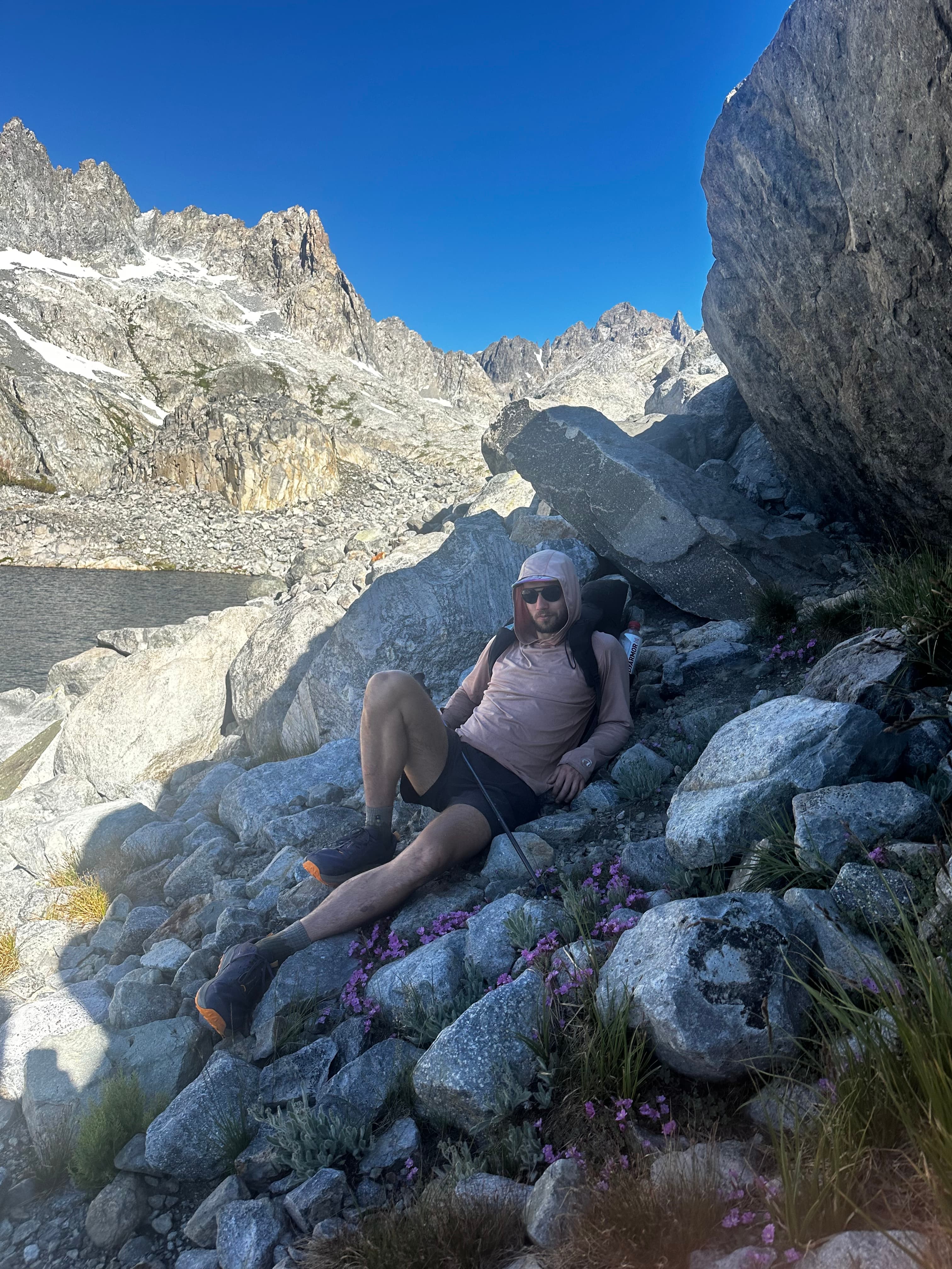
Avoiding the sun near Cecile Lake
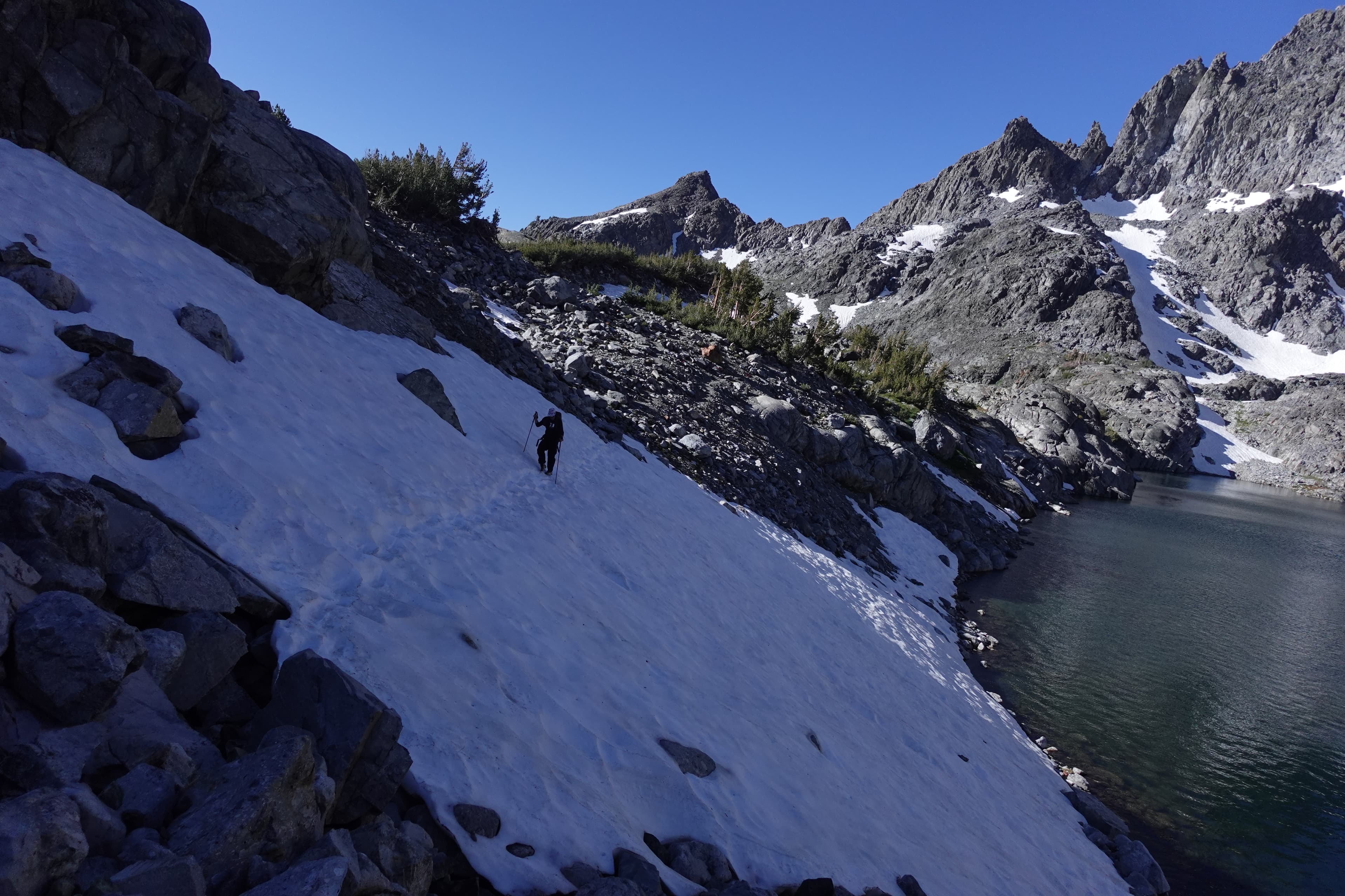
Crossing above Iceberg Lake
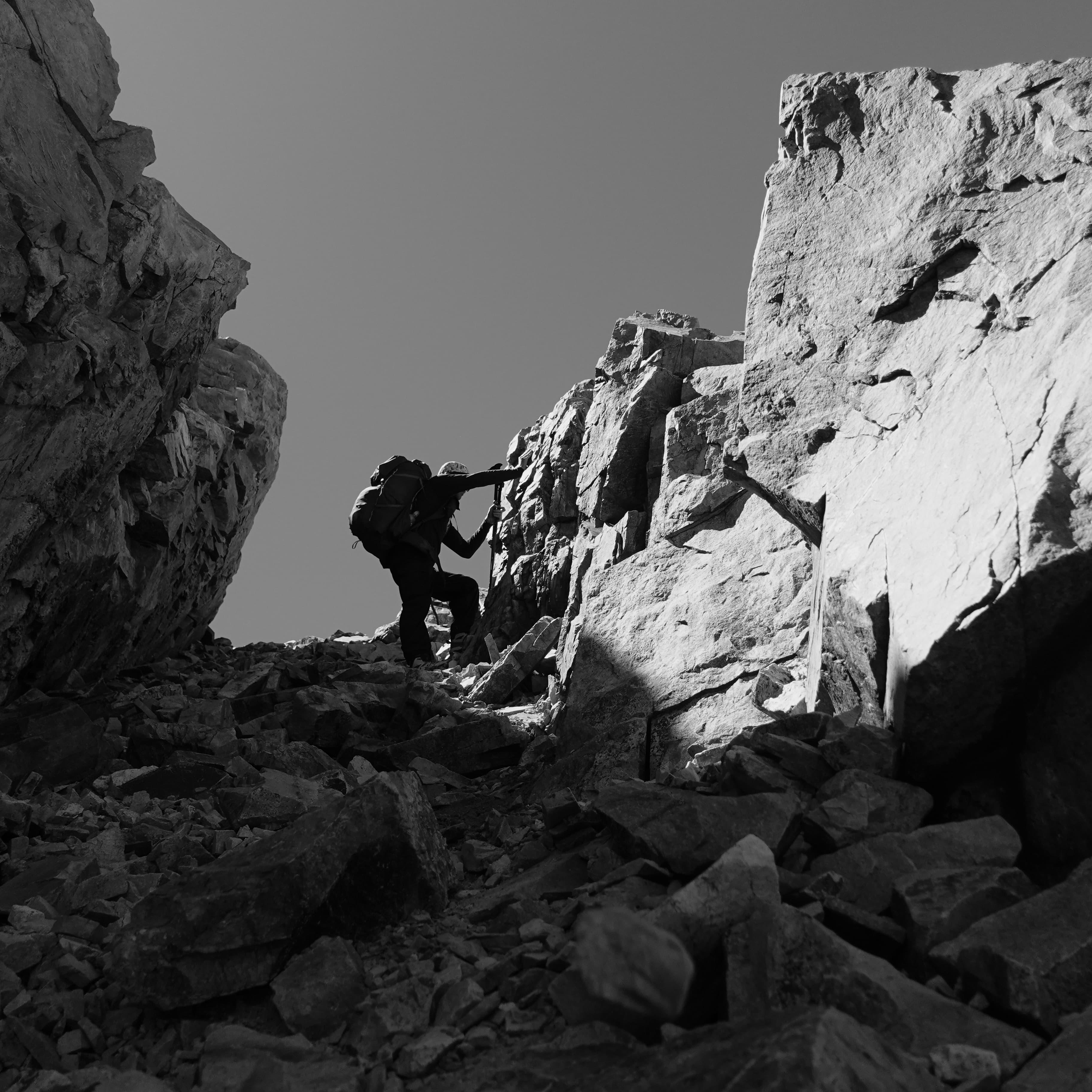
Last pass before Thousand Island Lakes
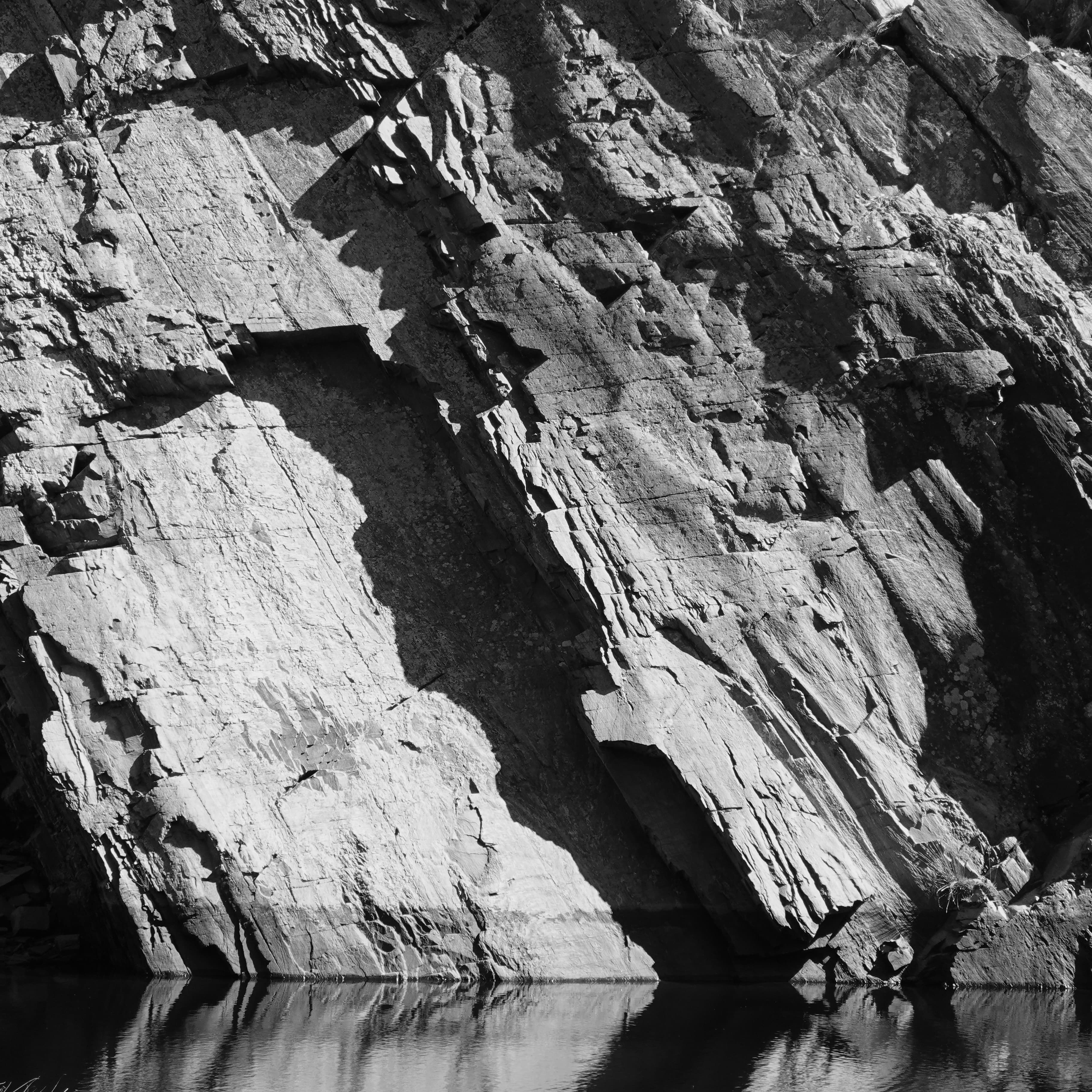
JMT views
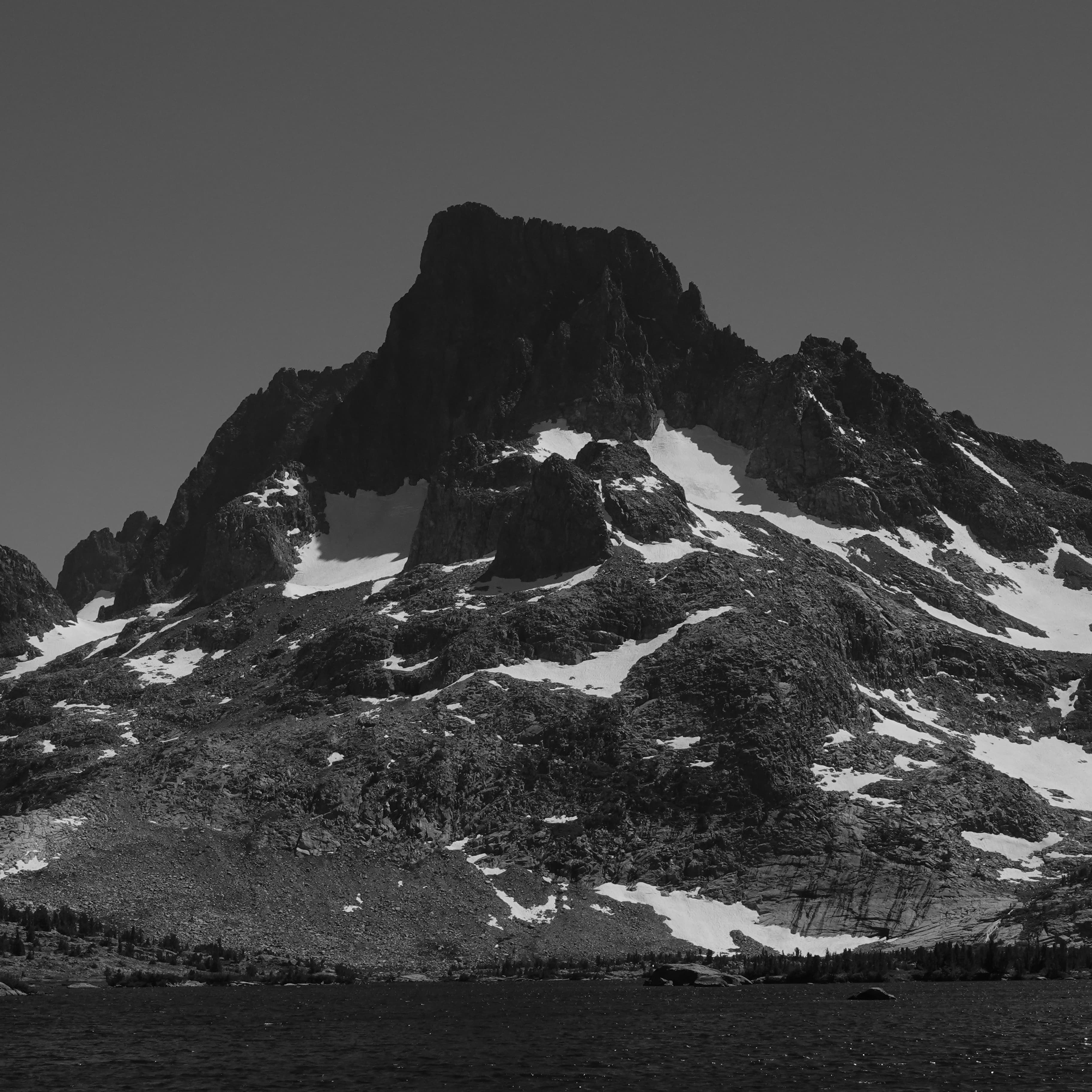
Banner from Thousand Island Lakes
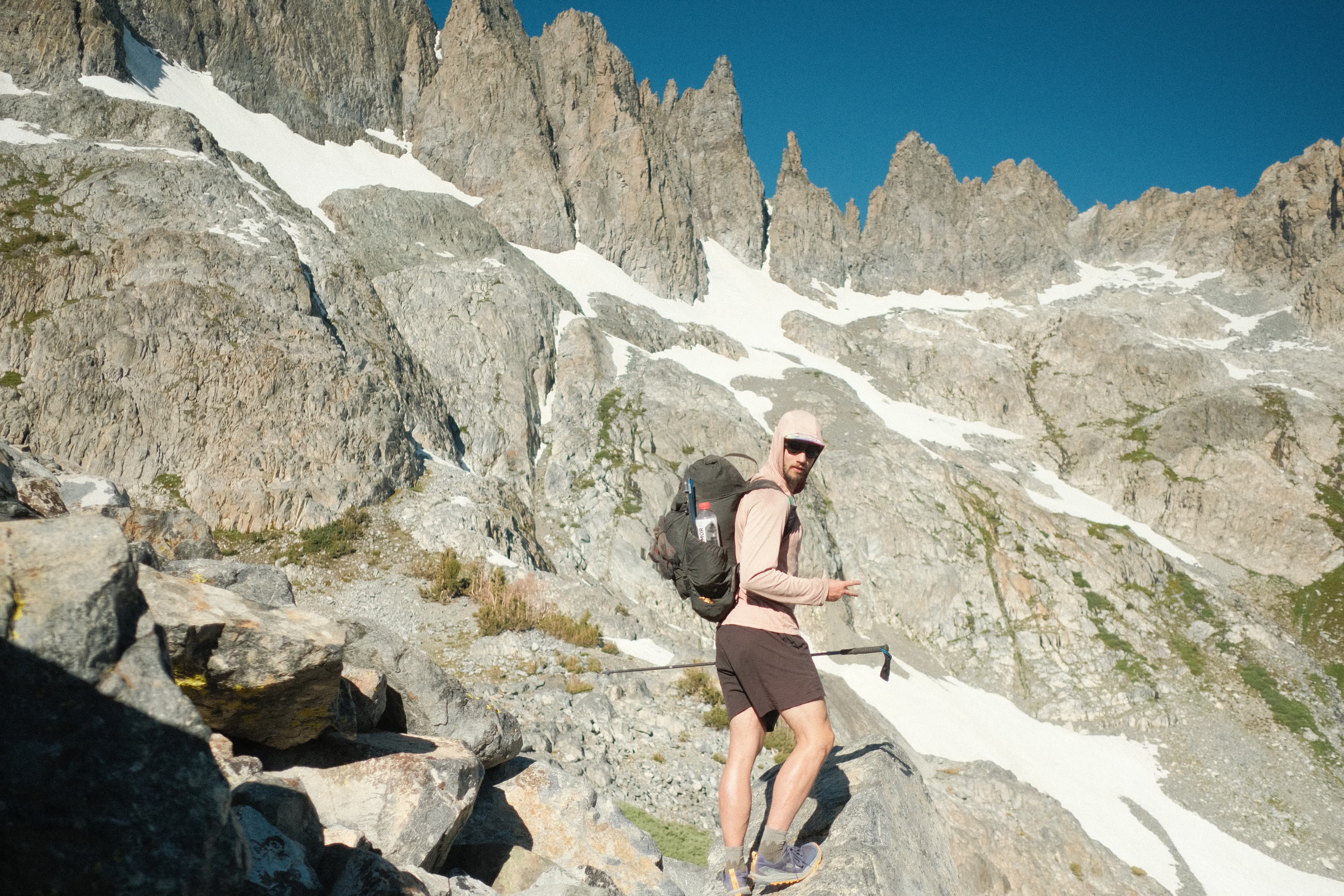
Under Ritter and Banner
We'd planned on a climb of Ritter, but with the state of John's feet and no ice axes between us, we decided to continue past and head out via the Rush Creek Trailhead and Agnew Lake.
The final miles were mostly downhill but still pretty slow going with John's mangled feet. Are blisters a rite of passage for a first backpacking trip?